Africa Guide Map Features

Just a few compelling, super fabulous, fantastic reasons you need these maps in your pocket.

Beautifully Designed

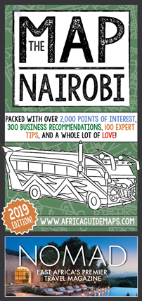
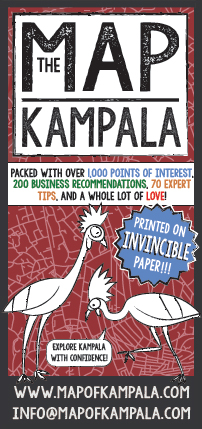
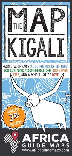
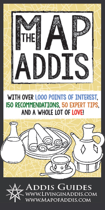
Each of these maps have been created with both practicality and design in mind. Bright colours, fun fonts, and cartoons of buildings, animals, and local characters add to the cheerful look. Africa Guide Maps are super sexy and would make a fine addition to any wall.

Incredibly Accurate

Google maps has led me astray more than a few times as I've made these maps, and information has been added and corrected as I've explored. While information will change, these maps are some of the most accurate you'll find for these great places.

Packed with Information

Each map has more than 150 business recommendations, 1,000 plotted points of interest, dozens of activity and tourism ideas, neighbourhood guides, and loads more. The bigger and more complex the city, the more info you'll have at your fingertips!

Crowd Sourced Advice

Don't take my word for it! In addition to my own meticulous (obsessive?) research, I've spoken to countless locals, long time city residents, and new arrivals from different age groups and backgrounds to get a big ol' list of their best tips, advice, and favourite places.

Information You Can Trust

Besides the obvious ads on one side of each map (hey, a girl's got to eat!), you can be 100% certain that no businesses have paid to be recommended on the maps. Every single thing you read on an Africa Guide Map is there because I think it's helpful or interesting.

Made with Love

A whole lot of heart and soul goes into creating these maps - I personally visit each place I recommend, I walk almost every street on foot, and intensely research each city. Each map takes around 1.5 years to complete and they're a true labour of love!